The Skye Ridge is the UKs answer to the Alps. Rocky and jagged peaks which to some provide the perfect playground while to others (such as the timid Munro bagger!) are extremely intimidating.
Luckily there are a few peaks along the ridge that are better suited for those with less of a vertical rock inclination. An interesting rocky ridge, an airy summit and a no-hands-required walk down make Sgurr na Banachaich via Sgurr nan Gobhar perfect for the Skye novice.
Start at the car park opposite the Glenbrittle Memorial Hut ~2 km north of the Glen Brittle Campsite.
Grade 2 Route
Route Map
Approach
1 – (NG 41158 21562) Follow a good path south east gently upwards across the moor until the gorge and waterfall of Eas Mor is reached. From here follow the path for a further km until a place to ford the river is reached. Make sure you take the left fork back towards Coire Banachaich.
2 – (NG 42392 21827) Cross the river and weave your way up the gradually steeping nose of Sgurr nan Gobhar. The scree can be a bit loose and a little unpleasant, but if the best line is chosen then the slope isn’t too bad. Eventually join the ridge and follow the crest to the summit Cairn.

The Scramble
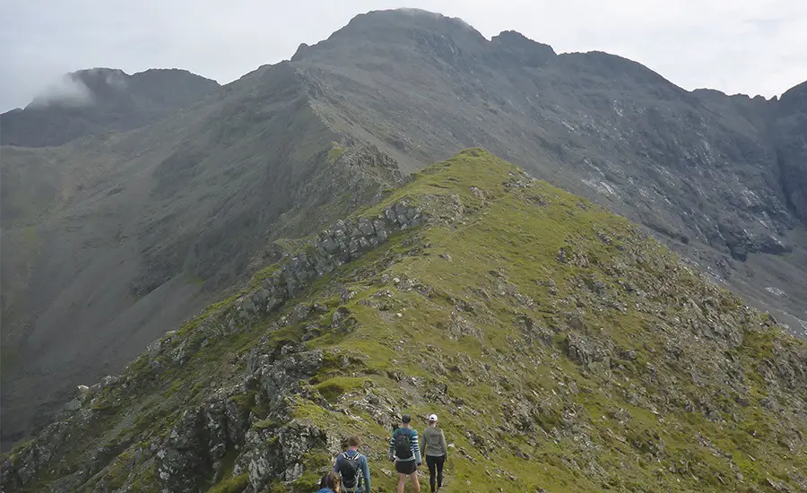
3 – (NG 42688 22415) Follow the airy ridge weaving between little rocky steps which for the most part can be avoided or tackled direct.
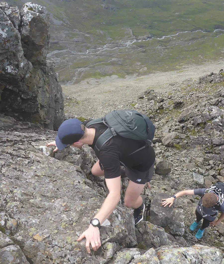
Eventually a steeper (and compulsory) section is reached which comprises of a few short walls.
These are all ascended on great holds to an easing. Soon after the rocky section ends rather abruptly at the broad shoulder of Sgurr na Banachaich. The main path lies just ahead and can be followed to the summit.
Descent
4 – (NG 44047 22441) From the airy summit retrace your steps back down the shoulder of Sgurr na Banachaich along a well-trodden path. The path then swings right (north) down onto a small col above Coir’ an Eich.
5 – (NG 43504 22824) Continue down the Coire, eventually joining the Coire a’ Ghreadaidh path ending at the youth hostel. A quick skip along the road then lands you back at the start.
Recommended Guidebook & Map
The best guidebook for this route is found in the SMC Skye Scrambles Book, which is available via Amazon on Paperback here.
The best map for this route is the Ordnance Survey Landranger 32 South Skye & Cuillin Hills Map, available on Amazon here.
Recommended Scrambling Guide: (coming soon)
Recommended Accommodation
The best place to stay to do this route is in the Glen Brittle Campsite.
Route Info
| Distance | 9 km |
| Elevation | 920m +/- |
| Duration | 8 - 10 hours |
| Grade | 2 |
| Transport | Car, Glenbrittle Memorial Hut |
Navigation
| Guidebook | Best Book |
| Maps | Best Map |
| Guided Tours | Guides |
| Accommodation | Where To Stay? |
| Contributor | Who Contributed? |
Route Contributed by: Sam Wainwright
“I live for everything outdoors and to me a bad day in the hills still beats a good day in the office.”
Sam regularly publishes route blogs on his website Wainright Climbing here.
This route was created by Sam Wainwright and donated to the UK Scrambles website through our contributor program.
This generosity enables us to publish a whole range of scrambling routes to help you enjoy the outdoors.
If you have a route you could contribute, submit it to us today.


